Latest Updates
China's new "standard map" released on Monday includes Aksai Chin and Arunachal Pradesh within Chinese territory
.jpeg)
China released its new "standard map" on Monday that included Aksai Chin and Arunachal Pradesh within the Chinese territory. The map was released on the website of the standard map service hosted by the Ministry of Natural Resources, and X'ed by Global Times. According to Global Times, the map is based on the drawing methods of the national boundaries of China and other nations of the world.
The 2023 edition of China's standard map was officially released on Monday and launched on the website of the standard map service hosted by the Ministry of Natural Resources. This map is compiled based on the drawing method of national boundaries of China and various countries… pic.twitter.com/bmtriz2Yqe
— Global Times (@globaltimesnews) August 28, 2023
India has maintained that Arunachal Pradesh always is and always will be an integral part of India, while Aksai Chin was originally a part of India but captured by China in the Sino-Indian War of 1962.
This comes at a time when Prime Minister Narendra Modi and Chinese President Xi Jinping met last Thursday, August 24, and had apparently agreed to "intensify efforts" to de-escalate border issues along the LAC. The two leaders had met on the sidelines of the BRICS summit, Indian foreign secretary Vinay Kwatra told reporters.
The opposition including the Congress had long been questioning the central government if Indian Territory had been under the capture of China alleging cover-up on the part of the central Govt. This fresh attempt by China to distort the Indian map has stoked in massive political row, yet again.
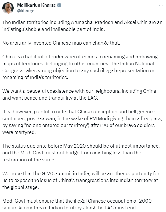
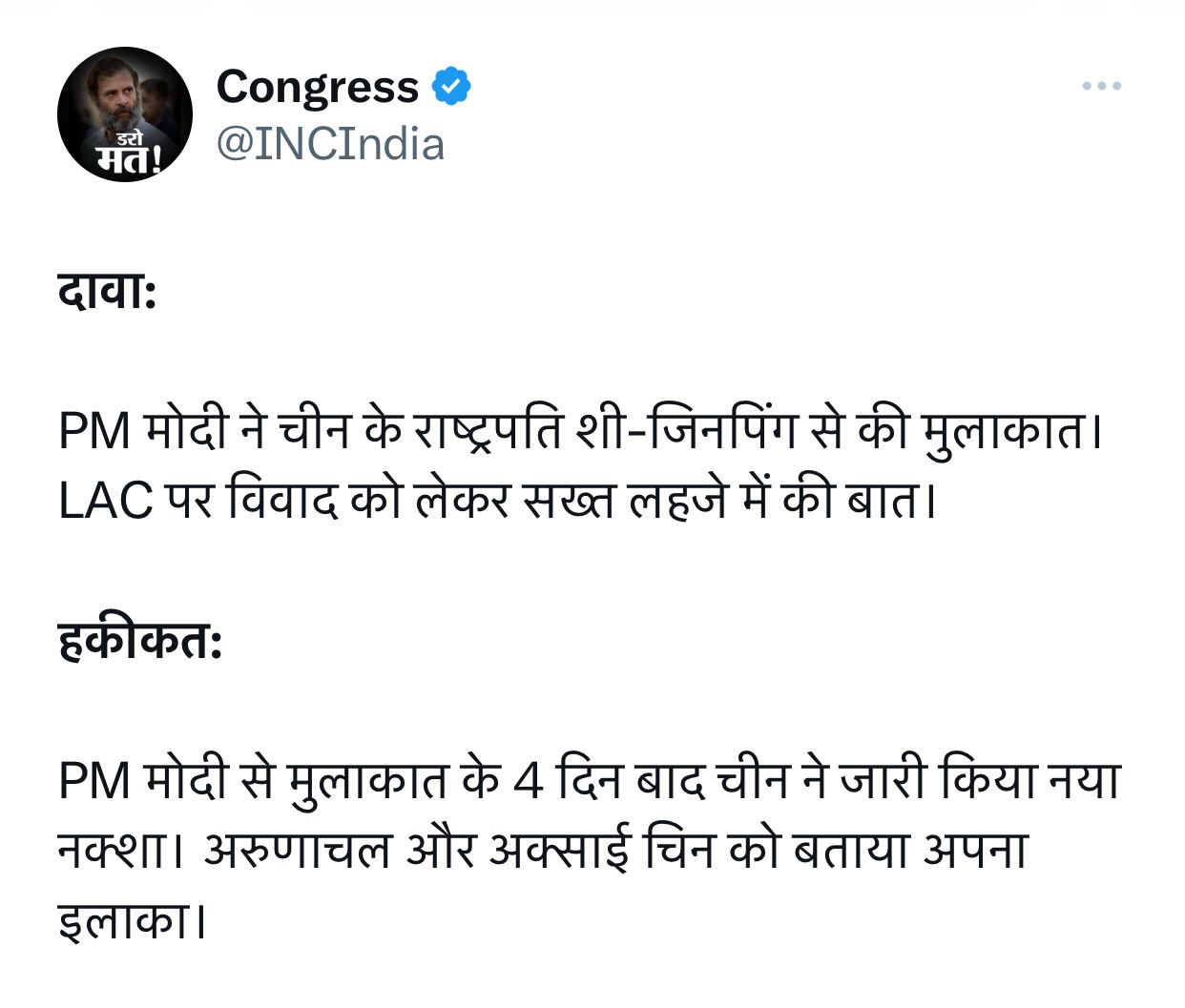
Congress President Mallikarjun Kharge took to X and called out China as a “habitual offender” while demanding that “Modi Govt must ensure that the illegal Chinese occupation of 2000 square kilometers of Indian territory along the LAC must end”. Congress in another jibe had hit out with contrast and said,
“Claim: PM Modi met Chinese President Xi-Jinping. Talked in a strong tone about the dispute on LAC.
Reality: China released a new map 4 days after meeting PM Modi. Told Arunachal and Aksai Chin as their area.”
Similar aspersions were also cast by Shiv Sena (UBT) leader Sanjay Raut, "the Prime Minister went to BRICS and hugged China's premier as usual. This map has come after all this. How does he feel about this? Our heart breaks seeing this ...If you have the courage, do a surgical strike on China," ahead of the opposition India bloc meeting in Mumbai.
The opposition had been upping the ante against the BJP-led central government and has announced to fight as a united force under the name INDIA against the BJP. This fresh development of another attempt by China to play with the Indian map comes hours before the opposition leaders meet in Mumbai. The Central Govt and BJP have so far dismissed such claims of China while asserting India’s geographical integrity hasn’t been compromised.
Important to mention that clashes were reported between the Indian Army and China's People's Liberation Army (PLA) troops at the Tawang sector of Arunachal Pradesh on December 9, 2022. Chinese troops had tried to transgress the Line of Actual Control (LAC) in the Yangtse area of the Tawang Sector. A similar faceoff was witnessed at Galwan in 2020 and there were reported skirmish following that in 2021. India and China through talks had decided to de-escalate the tension but opposition had been since raising questions if Indian territory had been captured by China.
Photo Gallery
